Yesterday was another day of record-breaking heat in Williams Lake and Quesnel.
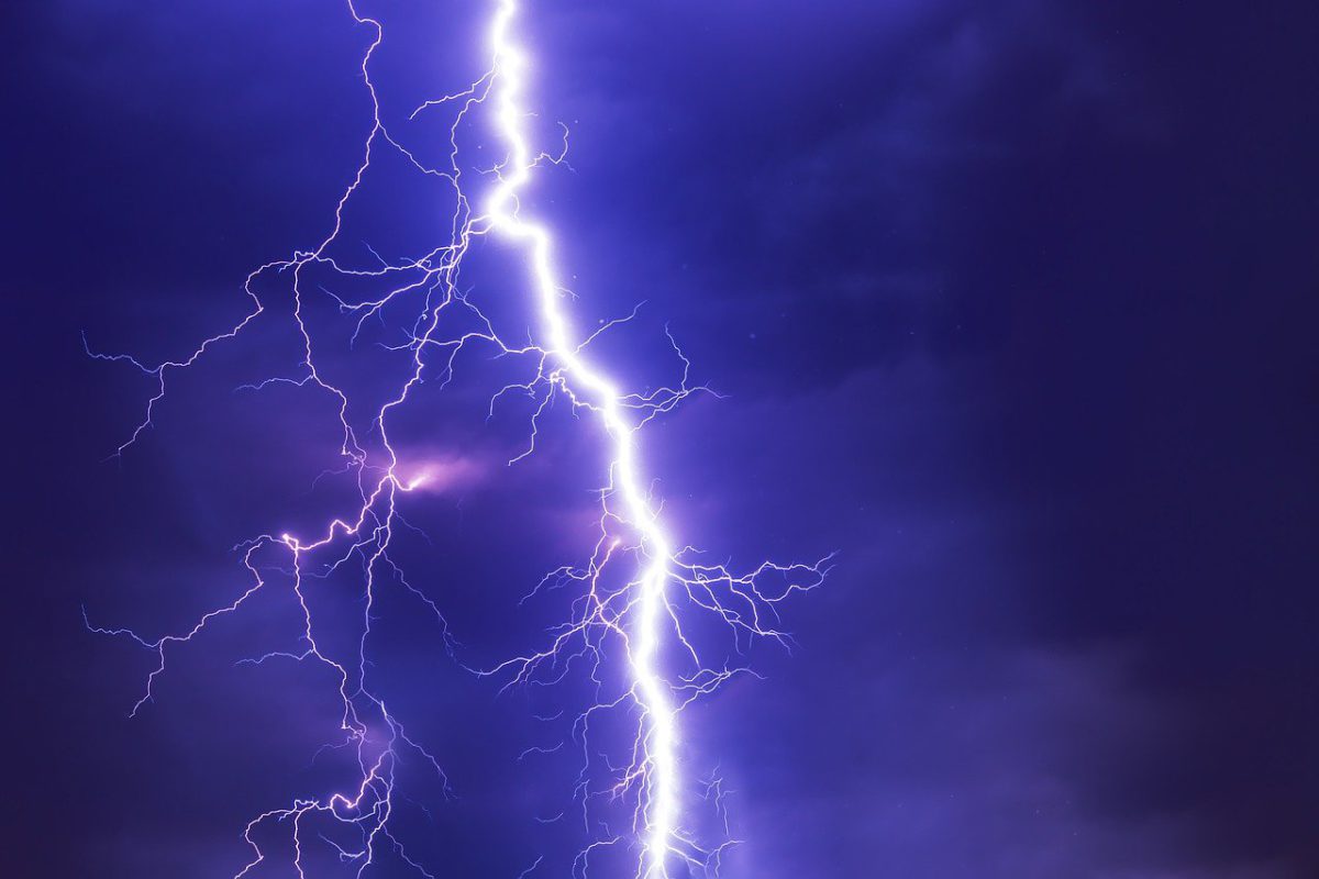
With several continuous days of high temperatures, Environment Canada has a severe thunderstorm watch in effect.
Meteorologist Terri Lang said the watch was issued because there’s so much energy packed in the atmosphere with all this heat and the potential for these thunderstorms to become severe is high.
“This is why we have the thunderstorm watch. A watch means there’s a potential chance so everyone keeps an eye on the sky just in case and as soon as we issue a warning it means to take action and take cover. So right now it’s a watch because we’re expecting these things to develop this afternoon. I think the biggest threat we have got going on right now with these thunderstorms is the wind gusts associated with them and lightning of course. The problem is we might see some dry lightning, which means thunderstorms form, we get some zaps of lightning but we don’t get a lot of rain with it so it’s particularly dangerous for the wildfire situation.”
All-time records were set yesterday, Quesnel reached 41.7 breaking the old record of 35.6 in 1896 and Williams Lake was 39.6 shattering the record of 30.9 in 2008.


