Listen Live
Listen Live
Listen Live

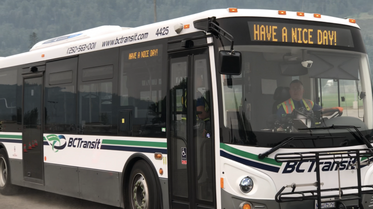
NextRide real time bus location technology continues expansion in the Cariboo

BC Transit has expanded its Automatic Vehicle Location technology to Williams Lake.

NextRide was introduced in 100 Mile House back on June 13th, allowing riders to see the location of their bus along its route and the estimated arrival at stops through mobile devices and desktop.

Automated announcements onboard will call out stop names to customers, improving the overall accessibility, and increasing comfort and convenience for riders.

BC Transit recommends transit users to use the tool through their website, the Transit App, Google Maps, a favourite trip planning app, or refer to the rider’s guide.

They note that Google takes several weeks to share new info, so anyone planning their trips with Google Maps will experience a short delay in the real-time data information.

This is funded through the Investing in Canada Infrastructure Program, with costs being shared between the Government of Canada, covering 50 percent, and the Province contributing 40 percent, and local governments contributing the last 10 percent.

More information about NextRide can be found on BC Transit’s website here.

Something going on in the Cariboo you think people should know about?
Send us a news tip by emailing [email protected].

Continue Reading

ckbx Now playing play

cffm Now playing play

ckcq Now playing play

- Advertisement -

Related Articles

- Advertisement -

Latest News

100 Mile District General Emergency Room closed until evening today

Interior Health says the emergency room services at 100 Mile District General will be closed from 7 a.m. to 8 p.m. on September 05.

Wildfire Service plane struck by drone flying illegally over restricted wildire area

A BC Wildfire Service plane was forced to land and get repairs after being struck by an illegally flying drone over the Cariboo this week.

Island on Quesnel River lit up by “short-lived encampment fire”

A small wildland fire ignited on an island on the Quesnel River. The Quesnel Fire Department was able to extinguish the fire relatively quickly. The cause of the fire was deemed to be from a small encampment.

Dusty Lake Wildfire Southeast of Nimpo Lake has grown

The Dusty Lake wildfire 8 kilometres South East of Nimpo Lake and 25 kilometres South of Anahim Lake is estimated to be 3,832 hectares in size.

Highway 20 Alternating Traffic near Tatla Lake

DriveBC is reporting Highway 20 between Eagle Lake Road and Pyper Lake Road is single lane alternating traffic for 26.8 kilometres due to a wildfire.
- Advertisement -