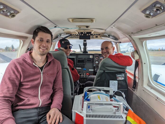
The Ministry of Water, Land and Resource Stewardship announced the LidarBC Program is underway.
Light detection and ranging (LiDAR) data helps communities plan and respond to climate emergencies, support habitat and ecosystem protection and inform sustainable forestry management.
In a release, Minister Nathan Cullen said “By providing freely available LiDAR data, our province will be able to better adapt to climate change, make more and better decisions to protect old growth and give Indigenous partners and industry the data they need to create more jobs.”
The Ministry said in an email response that the system will be implemented over the next four years, with the program acquiring 100% of the province’s land base from the LiDAR data.
So far, the Province has data for 14% of BC, and can be seen here.
Information from the LiDAR would be used in various fields, including forestry, wildfire and fuels, agriculture and more.
The release added that the new system will help advance reconciliation efforts, provide economic opportunities and guide stewardship of provincial public land and resources by informing decisions on modernized land-use planning.
More information on the LiDAR system can be found on the Province’s website here.
Something going on in the Cariboo you think people should know about?
Send us a news tip by emailing [email protected].


