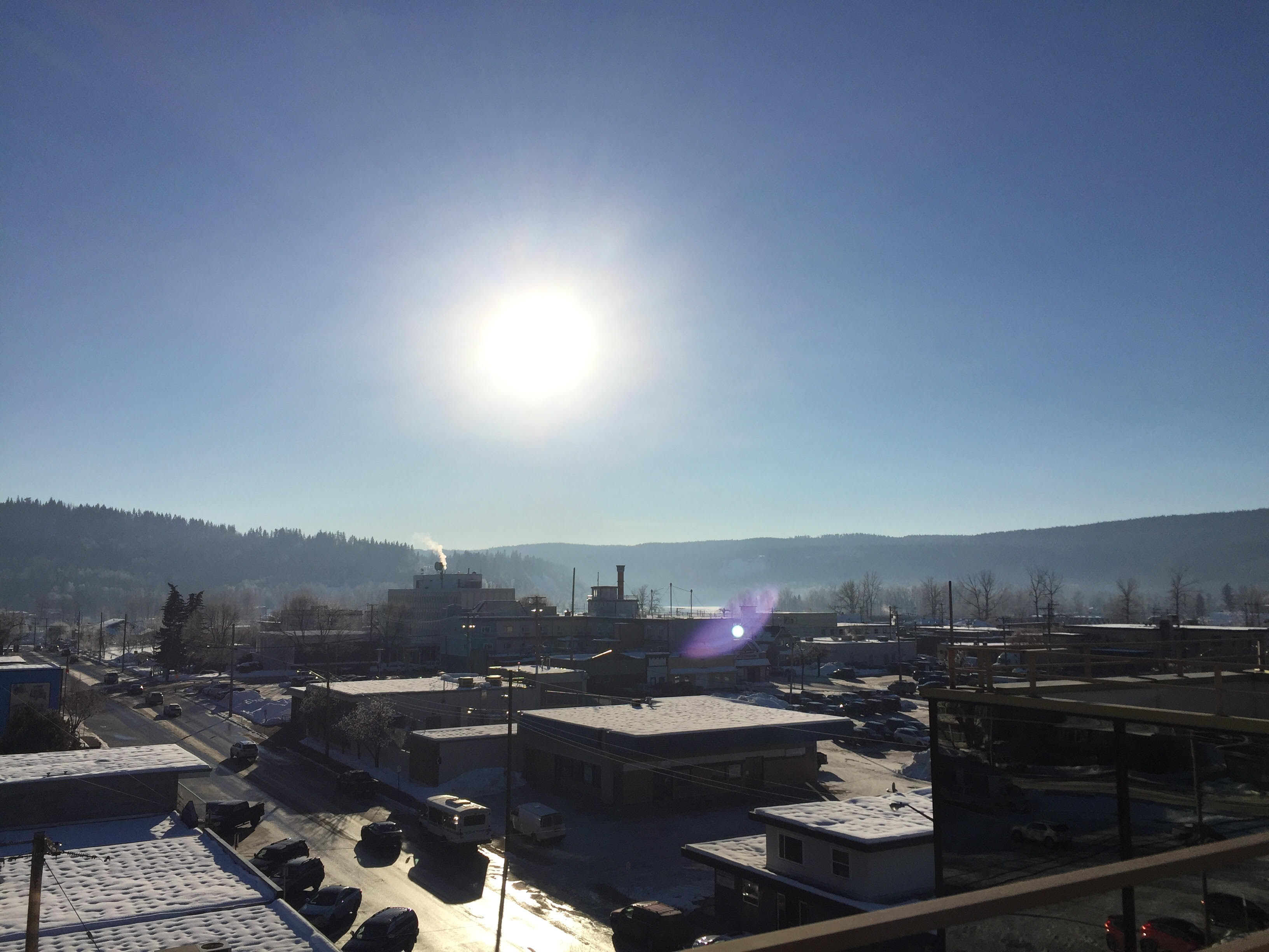
It was a scorcher over the long weekend but we didn’t set any records for daily high temperatures in the Cariboo.
We did however, see a couple of records fall for overnight highs.
Bobby Sehkon is a Meteorologist with Environment Canada.
“On the 31st of July we had records in both Clinton and Williams Lake. Clinton got down to 14.2 degrees celsius and Williams Lake 16.1 degrees celsius, so not a lot of cooling overnight.”
Sehkon says the previous record overnight high in Clinton was 13.7 degrees from 2004, and it got down to just 15.6 degrees in Williams Lake back in 1973.
As for daily highs.
“33.6 is what Quesnel got to on Saturday, 32.9 on Sunday. We saw Williams Lake also see temperatures into the 30’s. Saturday we got to 31.2 and for Sunday 30.1.”
The daily records for Quesnel were 35.6 on July 30th from 1971 and 36.4 degrees for July 31st from 2003.
Williams Lake’s records for those two days were 33.9 and 34.4, both from 1971.
Sehkon says things are about to change when it comes to the weather this week.
“We do have a change in the weather pattern this week, generally looking cool. Some unsettled weather as well. We’re going to see an upper low move through, kind of Wednesday-Thursday, that’s going to give a risk of thunderstorms, also a chance of showers, especially Wednesday night. That’s where we could see some rainfall amounts of between 5 and 10 millimetres, and that kind of cooler trend continues into the early part of the weekend.”
Sehkon says that will be followed however, by another ridge of high pressure the following week, but he says it won’t be as warm as what we just had.
Something going on in the Cariboo you think people should know about?
Send us a news tip by emailing [email protected].


