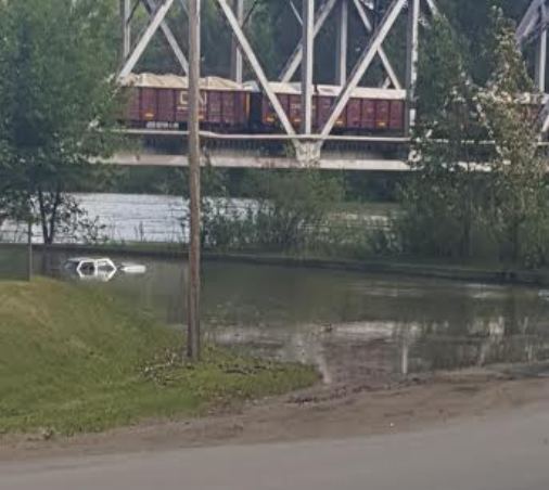
A combination of a rising snowpack and a delay in the melt has increased the risk of flooding in the Quesnel area.
David Campbell is with the BC River Forecast Centre.
“For the May 1st bulletin, we saw areas on the Quesnel River bumped up from 123 percent to 149 percent for May 15th.”
Campbell says the snowpack is also about four weeks behind schedule.
“We look at stations that are at higher elevations, we’re seeing very little melt. In some cases, you know less than 5 percent of the overall snow has melted, and really it’s only been over the last few days we’re starting to see that start to melt, so in some spots this is sort of record late melt.”
As always, Campbell says it will depend on the weather moving forward.
“When it comes to flooding, maybe about a third of the risk that we see, a third of what drives flooding comes from the amount of snow we have itself. And maybe two thirds of the risk comes from the weather component, so that’s where it becomes difficult to really, you know beyond kind of week to week modelling that we do, it can be very difficult to get a long range projection.”
Cambell says the weather typically gets a lot warmer in June.
“We have more solar radiation, the sun is up longer in the day, we have that potential for seasonal temperatures that are rising and warmer. That’s what we would expect, so the risk of having a hot weather event is much higher as we come into the June period compared to May.”
Campbell says the next update for the public will be available around June 8th.


