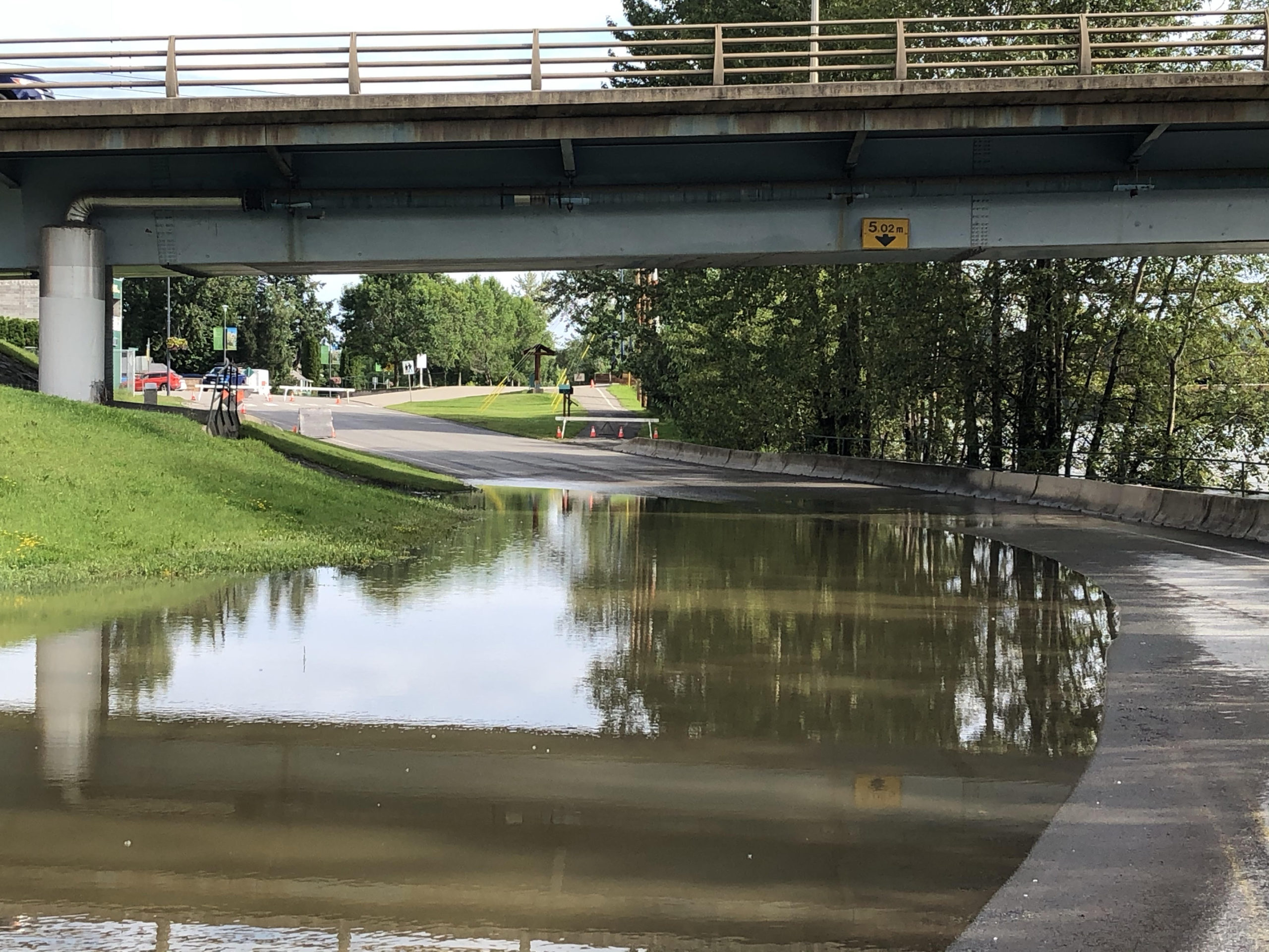
The BC River Forecast Centre says the snowpack levels in the Quesnel region are now at 123 percent of normal.
That’s up from 116 last month.
Jonathan Boyd is a Hydrologist with the BC River Forecast Centre.
“In the last 20 years or so it’s the third highest. 2011 was at 125 percent, 2020 was at 128 percent.”
Boyd says the 123 percent of normal doesn’t necessarily mean that there will be flooding, it just increases the risk.
He says something else that is increasing the risk is the cool temperatures that we’ve had, which is delaying the melt.
“As we move into late May or early June the real risk if if we get a ridge of high pressure, something that quite commonly happens. If we get to a point where we’re getting 5, 6, 7 degrees above normal for maybe five to 10 days, that’s when all the elevations that have delayed in their melting of snow will start to melt simultaneously. That’s where there is a major risk, and then on top of that if we then have heavy rain like we experienced last week the risk of flooding is even higher.”
Boyd says that would be a worse case scenario.


