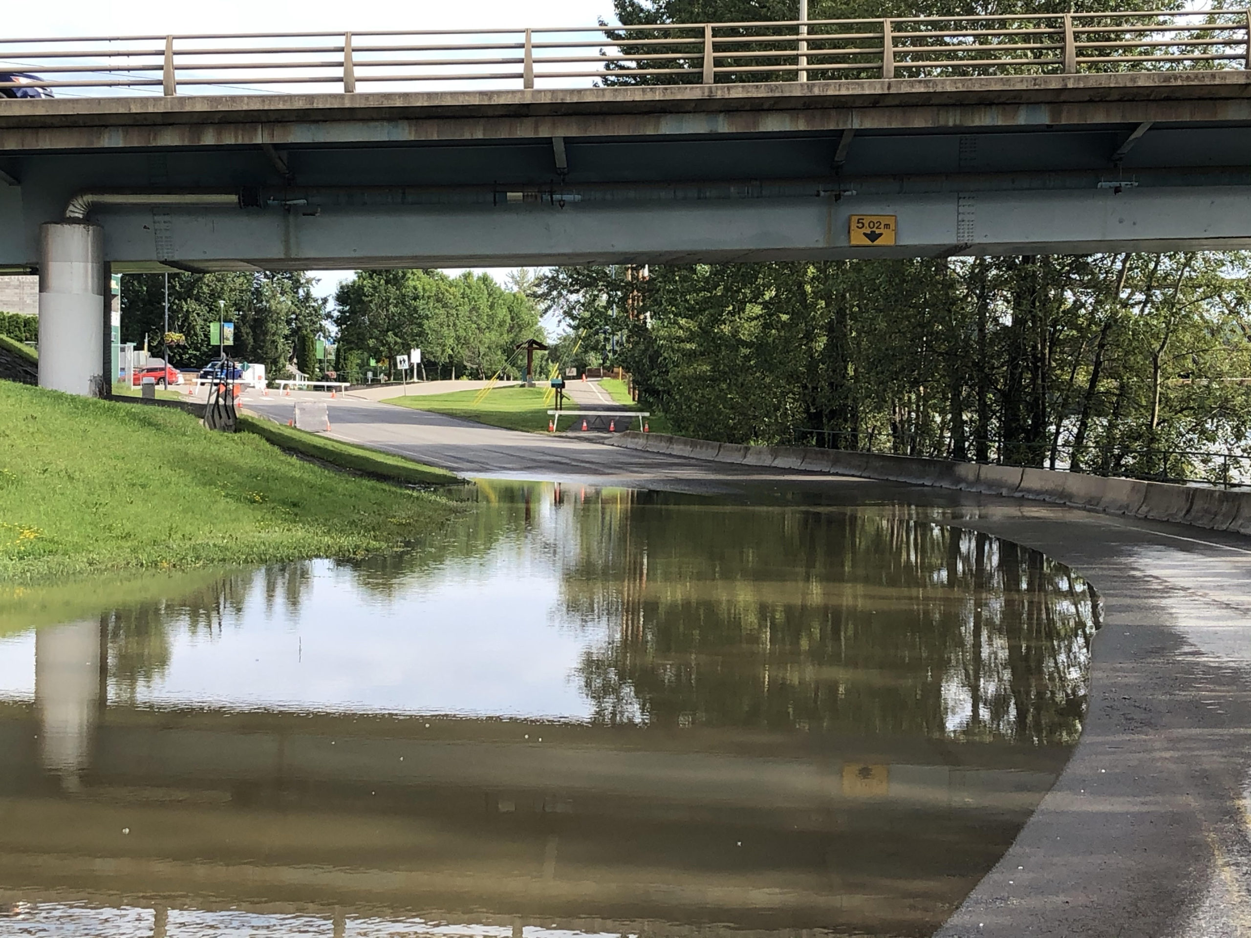
Snowpack levels are less of a concern this month, but we’re certainly not out of the woods yet in terms of the potential for flooding.
Jonathan Boyd, a Hydrologist with the BC River Forecast Centre, says the snowpack did come down last month.
“The Cariboo region, we kind of just summarize everything in the Quesnel area, is at 116 percent of normal. So that is down from March 1st when it was 125 percent of normal. It still is above normal though and there are some areas that are still quite high, and it is one of maybe 4 or 5 regions that is at least above normal enough to be concerning.”
The Chilcotin, meanwhile, at 163 percent of normal last month, is now down to just 72 percent of normal.
As usual how fast the snow melts will ultimately determine if there is flooding or not.
On that note, Boyd says the cold temperatures in the next week or so are a bit of a concern.
“Overnight lows in the -5 to -8 territory, and highs of maybe 4 to 9 degrees. That’s a considerable shift compared to even just two weeks ago. There is potential that that cold snap continues for another week and that’s where I am quite concerned. We actually want it to be warm now so it starts to melt some of the snow, and the longer that it stays cool the greater the risk if there is a tremendous heat wave in say mid-May or late-May.”
Boyd says highs were in the 20 to 24 degree range between April 14th and 17th of last year.
That compares to a forecast of just 4 to 11 degrees between April 12th and the 17th this year.
He says this is the time of year that the mid to higher level snowpack typically starts to melt, but that won’t happen until it warms up.
Something going on in the Cariboo you think people should know about?
Send us a news tip by emailing [email protected].


