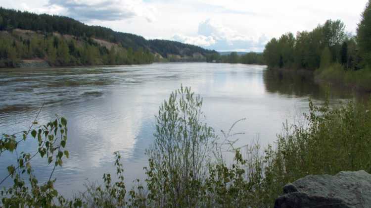
The BC River Forecast Centre said the next few weeks will be crucial when it comes to flooding across the north and the Cariboo.
Some roads and highways have closed or partially washed out recently.
Section Head, Dave Campbell told Vista Radio it’s been a quick transition in terms of the weather.
“That transition from accumulating snow to melting snow happened really quickly through the Cariboo at this point anyway, so we were really cold with sub-zero temperatures a couple of weeks ago where it got to minus ten in some areas including Prince George and then it went up to about plus 20 so that’s been a real rapid transition.”
Campbell adds the highest flows are south of Prince George through to Quesnel, Williams Lake, and the Cariboo Plateau.
In addition, the River Forecast Centre upgraded its Flood Warning for the Cariboo-Chilcotin Region.
The Upper Fraser East basin is 147% of normal, a 12% increase from the March forecast.
Campbell expects that number to stay the same.
“We’re not going to expect the number to change too much, we haven’t seen a lot of additional accumulation, which is good but now we are seeing that transition into the melt season, which is typical this time of year.”
“As we look towards the seasonal risk in the region, certainly the highest snowpacks we are seeing in the Cariboo Mountains and the Rockies is quite high and is concerning for the implications of that in terms of the Fraser River itself.”
The River Forecast Centre will issue two bulletins in May on the 8th and 21st.
from the files of Brendan Pawliw MYPGNow.com
Something going on in the Cariboo you think people should know about?
Send us a news tip by emailing [email protected].


