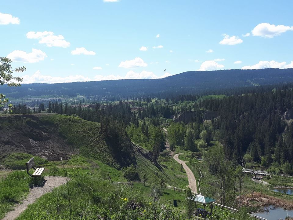
The City of Williams Lake is seeking $150,000 towards the development of a flood risk map of the River Valley Trail.
This would be the first such study as Director of Development Services, Hasib Nadvi says a historical floodplain study was completed up to the lake and did not expand to include the Williams Lake River, Fraser River, or the River Valley.
“We have a lot of utility infrastructures like our sewage lagoons and stormwater system so it will be a good study to see how a 200-year flood level would impact it and how we could reduce the risk whatever the risk may be and any recommendations for infrastructure improvement,” Nadvi says.
If successfully approved the funding would come from the UBCM Community Emergency Preparedness Fund.
“Our corporate engagement officer actually brought this to our attention and this is a 100 percent grant-funded project if we receive approval. We have been talking about making improvements to River Valley trails, making some infrastructure improvements, we’ve been talking about slowly getting some reports, and part of improving the River Valley and making sure it’s a community of many that we can keep maintaining,” Nadvi says.
“It’s also part of our assessment management plans that we do these things so on a staff level we review these things and what needs to be done. So from a strategy point of view and the grant timing just came together so we thought it would be a very good decision to apply for the grant.”
The flood risk map would complete a hazard, impact, risk, and vulnerability assessment based on preliminary regional hydrology and complete a consequence risk assessment.
It would take one year to complete.
Also seeking funding through UBCM’s Community Emergency Preparedness Fund is the Cariboo Regional District (CRD).
The Board agreed at Friday’s meeting to endorse an application for $150,000 in funding for the continuation of floodplain mapping. The second phase of the work coordinated by the Fraser Basin Council proposes further floodplain mapping and more detailed hazard and risk assessment for high priority areas identified in the Thompson River watershed and areas of the CRD in the upper Fraser watershed.
Something going on in the Cariboo you think people should know about?
Send us a news tip by emailing [email protected].

