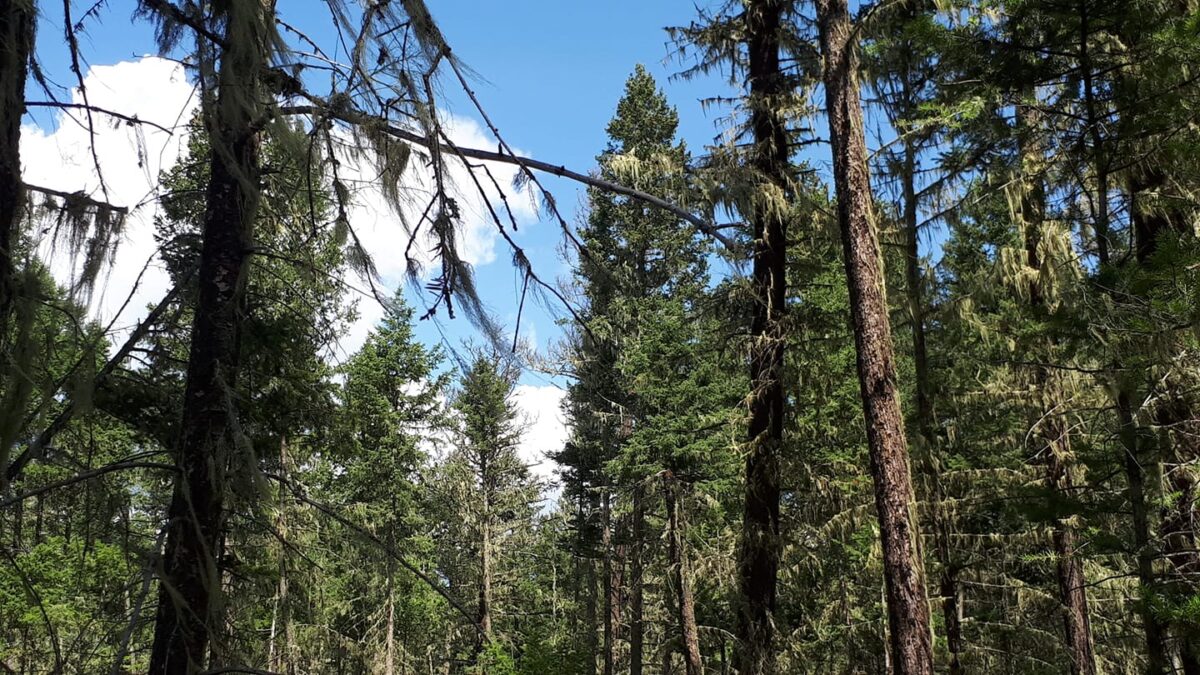
A series of wildfire risk-reduction projects will be completed over the next two years in the Williams Lake area.
A primary goal of these projects is to reduce the size and intensity of any future wildfires in the Williams Lake area which will make it easier for firefighters to defend the community.
About 1,200 hectares of interface land will be treated in total and the Ministry of Forests, Lands, Natural Resource Operations and Rural Development will be directing this work.
Project areas include:
- South Lakeside neighborhood
- Williams Lake River Valley
- Highway 97 South corridor from Broadway Avenue North to the White Road area
- Highway 97 North corridor near the Williams Lake Regional Airport
- Soda Creek Road and Mackenzie Avenue North area
- Fox Mountain, including the Centennial Drive, Eider Drive, and Pheasant Drive areas
- Westside of Dog Creek Road (south of Gibbon Road) and east side of Dog Creek Road (south of Gun A Noot Trail)
- Chimney Valley Road
- Horsefly Road and Spokin Lake Road junction (Dewar Lake area)
Preliminary fieldwork began this past fall.
Something going on in the Cariboo you think people should know about?
Send us a news tip by emailing [email protected].


