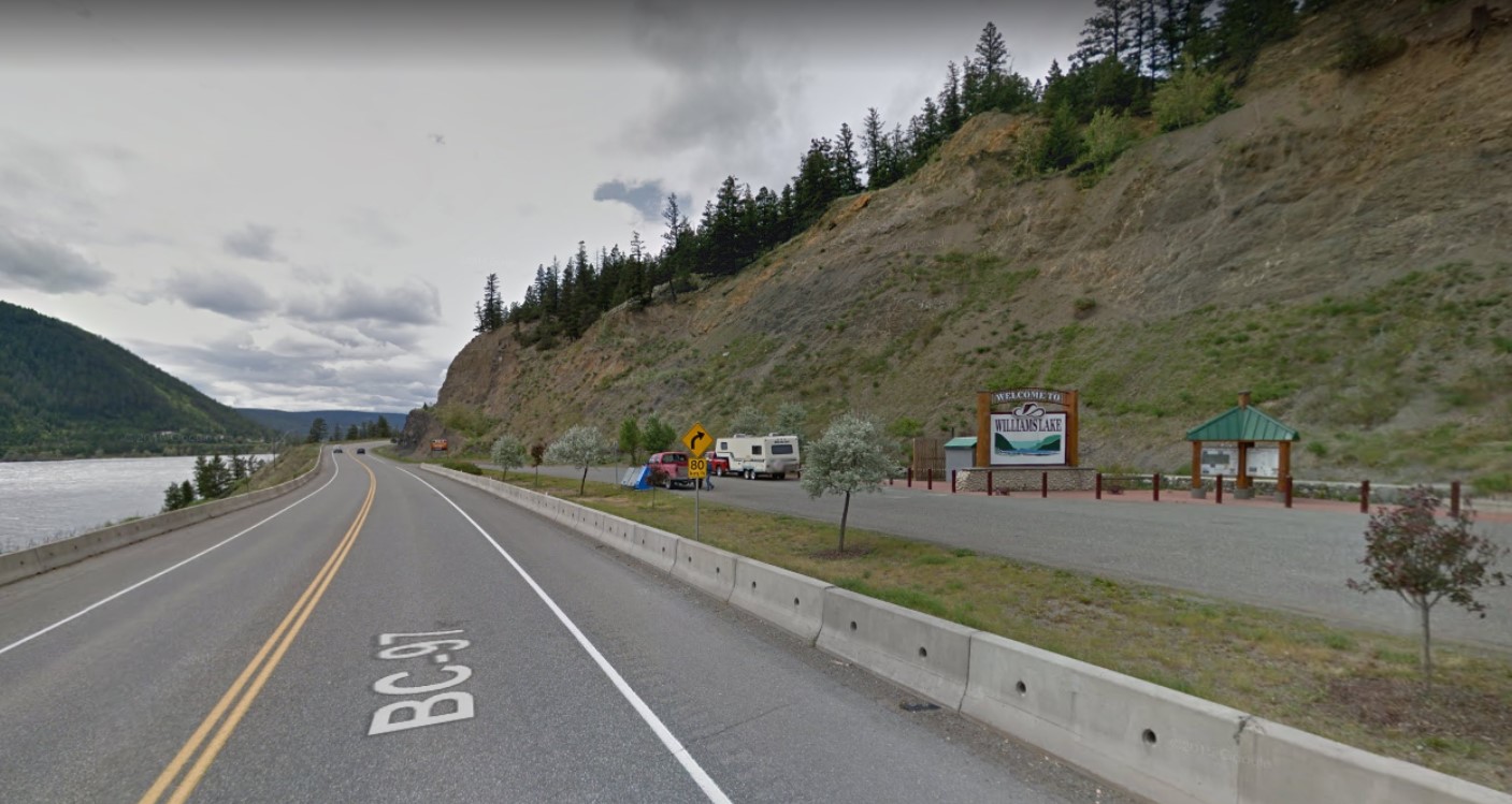
The City of Williams Lake will be putting forward an application for a $25,000 grant to the Community Emergency Preparedness Fund to support evacuation route and re-entry planning as a strategic priority in 2019.
Council supported the motion this week.
Mayor Walt Cobb said Tuesday there were some serious issues in 2017, and that while there has been a lot of work going on for fire-smarting one of the things that came to light was the evacuation.
“The fact that we couldn’t go north when we wanted to to start with the evacuation-we ended up having to get permission to go through 100 Mile,” he said.
“So what we want to do is identify all of the roads within the area and make sure they’re marked so if this should happen again we’ve got clear direction on how people can get out of town safely.”
If the request is successful, Cobb said he does not anticipate it will take long to identify the roads.
“What will take more time is to get signage done so that we’ll know and they’ll be a specific kind of signing so if you’re evacuated it’ll be easy to identify.”
Director of Development Services, Leah Hartley said in a report that in 2017 the City implemented a full-scale evacuation caused by wildfires and loss of highway access and while successful it identified the need for additional evacuation route measures during an event of this size.
The funding would support the proposed Evacuation Route Planning program which would expand upon the existing Emergency Plan with the following components to be developed (budget dependent) in close coordination with EMBC and RCMP:
- Assessment of emergency access routes in addition to Highways 97 and 20, to include potentially well-traveled forest service roads through Soda Creek, Chimney Valley, and Mountain Road.
- Evacuation route signage along approved forest service roads.
- Planning provisions in large-scale emergency evacuation for one-way highway travel, doubling the capacity of evacuation routes under police escort if needed.
- Identification of regional refuge zones during a large-scale evacuation, enabling drivers to pull off the highway at rest stops and refueling locations.
- Assessment and modifications if needed to the group transportation provisions (neighborhood pick up for those without access to vehicles), and the health services transportation provisions (for residents of care facilities).
- Assessment and modifications if needed to the re-entry provisions.
- Regional entry route maps and guides for responding agencies such as Red Cross.
- Update of the City’s Emergency Plan with the additional approved measures.
Something going on in the Cariboo you think people should know about?
Send us a news tip by emailing [email protected].


