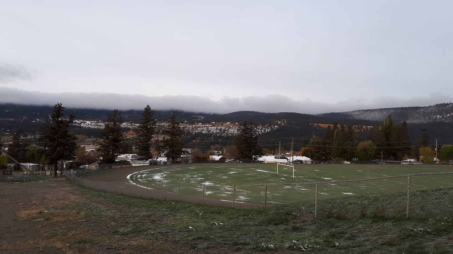
A winter storm caused by two clashing air masses led to heavy snowfall and temperature records being shattered across the Cariboo-Chilcotin.
In Williams Lake, the temperature plunged to minus 8.4 according to Environment Canada meteorologist, Armel Castellan.
“As I look at the lowest temperatures over the course of 1960 onwards for Williams Lake, it looks likes the third of October has a record of minus 5.2 in 1977 so certainly colder by a few degrees,” Castellan said.
“If you think about what is normal for this time of year in Williams Lake your lows are usually around just 2 degrees so you’re certainly well below that.”
Preliminary results also indicate that Quesnel broke its’ 1950 record of minus 8.3 at minus 8.4, and Clinton dipped down to minus 14.2 smashing its’ 2012 record of minus 5.0.
Castellan adds that this month’s snow stats in Williams Lake have also indicated records with 3 cm on September 30th and 3 cm on October 1st which easily breaks the 1973 record of 0.3 cm.
“Tuesday there’s still some debate on what has fallen,” he says.
“From our climate data online it looks like it fell as rain but that’s certainly not the case according to the observer. It looks like there was an observation there in the late morning with 5 cm on the ground and I believe another few centimeters fell so there’s probably another record.”
As for what’s in store for the upcoming days, Castellan says Tuesday’s system has shifted to the south tracking to Montana
“As we get to tomorrow there are a few flurries to the south of the Cariboo and then sunny in the afternoon so it’s a bit of what we call a default ridge so in-between systems,” he says.
“In the fall and even in the winter the low-pressure systems that are associated with a storm comes through-the worst case is during the passage of the storm, and then in between the storm because there’s certainly another one coming as you can anticipate, there’s going to be a drying trend for Thursday ,” Castellan said.
“That trend will continue through the week and even into the weekend. Then we start to see a pattern there probably late Saturday where we see some chances of precipitation.”
Something going on in the Cariboo you think people should know about?
Send us a news tip by emailing [email protected].


