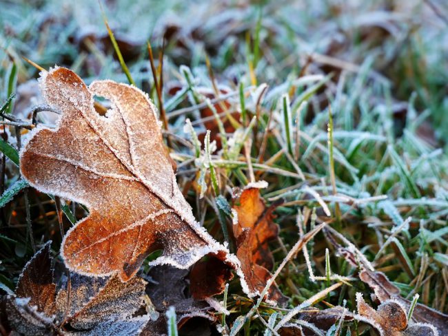
Fall will be in the air this week across the Cariboo-Chilcotin despite summer not being considered officially over until September 22nd.
Environment Canada meteorologist Matt MacDonald says a cool down is in store for the Central Interior.
“This morning looking at the webcams in Northern BC up around Fort Nelson and so on they had five centimeters of snow on the ground with this quite rigorous cold front that is sweeping from north to south,” he said.
“It’s going to take another day or so to get down to Williams Lake, Prince George, Quesnel area.”
The real cool down according to MacDonald will be on Wednesday with a high of about 9 degrees and temperatures plunging overnight to minus 3.
Normal temperatures for this time of year are a high of plus 19 with lows of plus 5.
“This is really an early blast of fall and dare I say winter-like weather,” MacDonald said of the cold front which is pushing in from the Northwest Territories and is three to four weeks ahead of schedule.
“I think we’ll be lucky in some respects the timing of this cold front. Had it passed through overnight it would probably increase the potential of snow accumulating in Williams Lake and Quesnel, but given that it will be passing through in the afternoon we’ll just see some windy conditions, maybe some rain mixed with snow.”
“Once we get into Thursday, Friday, the highs are only going to stay about ten degrees and the overnight lows we’ll be flirting with that freezing mark so particularly in the morning, you’ll want to be on the lookout for the potential for black ice, frost, or slippery roadways. It may seem really early, but you might want to look at putting on those snow tires as early as this week.”
As for what the 2018/19 winter season may hold for the Cariboo Chilcotin, MacDonald says it could be quite mild conditions.
“Last winter was an El Nina winter meaning typically colder and snowier than normal. For those who don’t like snow perhaps some good news in store there,” MacDonald said.
“We’re anticipating the development of an El Nino; the counterpart to El Nina, which is warmer than normal and usually a little bit more rain versus snow. We could be seeing a mild winter, but that will take until about January for us to see the first hints of this potential El Nino.”
Something going on in the Cariboo you think people should know about?
Send us a news tip by emailing [email protected].


