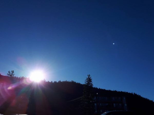
“September was a dry and warm month.”
That from Environment Canada Meteorologist Bobby Sekhon.
“Especially on the warm side,” Sekhon said, “In fact we had our warmest September on record for Williams Lake. We had a mean temperature of 14.7 degrees Celsius compared to the normal of 10.8 almost 4 degrees above normal.”
Sekhon said the records for Williams Lake go back to 1961 and Quesnel records go back further to 1895.
“It wasn’t quite the warmest on record for Quesnel but the fourth warmest on record were the mean temperature was 14 degrees compared to the normal of 11.7 that’s about 2.3 degrees above normal.”
In terms of precipitation the Cariboo received just over half of the normal amount.
“In Williams Lake the normal is 36.6 millimetres and they received 24.1 and Quesnel received 24.9 millimetres and the normal is 45.7.”
Looking at the week ahead Sekhon said the region has a couple of unsettled days ahead, there is a risk of showers and thunderstorms this (Thursday) afternoon.
“Tomorrow (Friday) we have showers coming in then as we get into the weekend it’s looking pretty nice,” Sekhon noted, “A ridge of high pressure is building in off the Pacific Ocean and that will bring some warm and mostly clear weather through the weekend and into early next week. The next disturbance will arrive mid next week but at least for the weekend the Cariboo can enjoy warm weather.”
Something going on in the Cariboo you think people should know about?
Send us a news tip by emailing [email protected].


